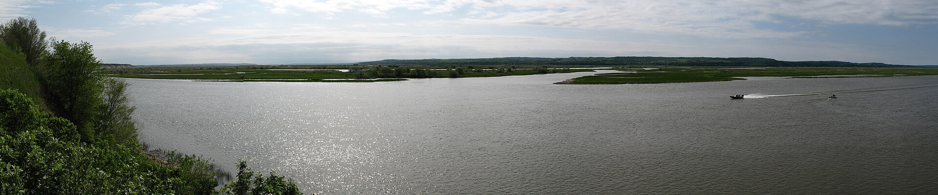
Most of the Missouri River is a managed system — dammed, channelized, tamed. The Missouri National Recreational River protects two of the last stretches that run like the river used to: a 59-mile reach from below Gavins Point Dam to Ponca, Nebraska, and a 39-mile reach from below Fort Randall Dam to Running Water, South Dakota (including the lower 20 miles of the Niobrara and eight miles of Verdigre Creek). Lewis and Clark floated this water; today it’s the only place on the Missouri where you can still read what they saw.
The NPS owns little of it — about 1,500 acres — and works through partners: Nebraska and South Dakota state parks, the Army Corps of Engineers, and the Fish and Wildlife Service. That’s the honest way to visit it: the river is the park. Ponca State Park anchors the Nebraska end of the 59-mile reach; Niobrara State Park and the Gavins Point area anchor the corridor. Corps of Engineers campgrounds at Nebraska Tailwaters and Cottonwood sit on the Nebraska side; Bow Creek Recreation Area is the NPS’s own site.
The visitor contact station is inside park headquarters at 508 E. 2nd Street, Yankton, SD (weekdays only), with a mobile ranger station that travels the corridor in summer — look for it at Niobrara and Ponca state parks. Admission is free. Peak season is May through September; October’s cottonwood color along the free-flowing river is one of northeast Nebraska’s best-kept spectacles.